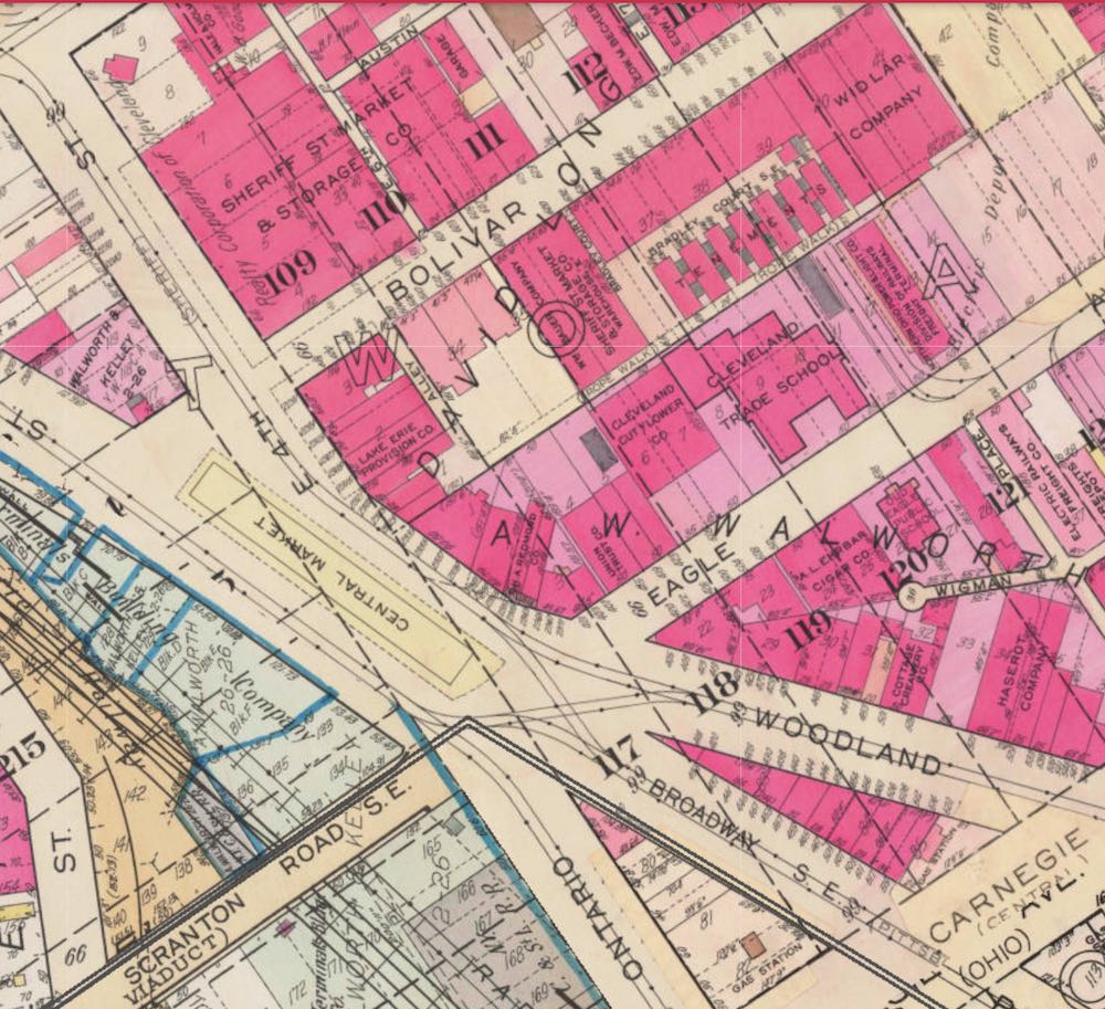
This atlas map detail shows the Central Market area in the mid 1930s. The Market stood in the middle of Ontario Street, just north of its intersection of Carnegie. Note how both Woodland and Broadway cut through the area now occupied by the Gateway sports complex. | Date: 1937 | Source: Peoplemaps, ClevelandDownload Original File
Source
Peoplemaps, Cleveland
Date
1937
"Original Central Market Location" appears in: Central Market