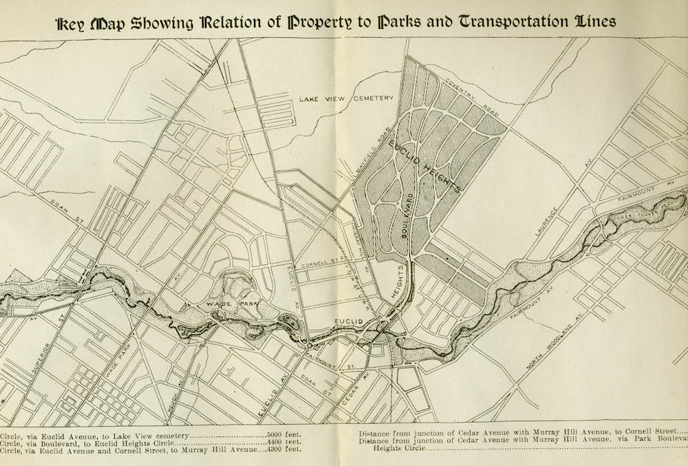
Euclid Heights Location Map, ca. 1896 ID: 6414 | This file appears in: Euclid Heights Allotment Map from the Euclid Heights sales brochure showing the relationship between the Euclid Heights Allotment and the city's system of streetcars and parks. Image courtesy of William C. Barrow Download Original File "Euclid Heights Location Map, ca. 1896" appears in: Euclid Heights Allotment